About Kubau
Learn about the governance, economy, and communities of Kubau Local Government Area.
General Information
Leadership
- Executive Chairman: Hon. Musa Saleh
- Vice Chairman: Hon. Rahila Mohammed
Location & Geography
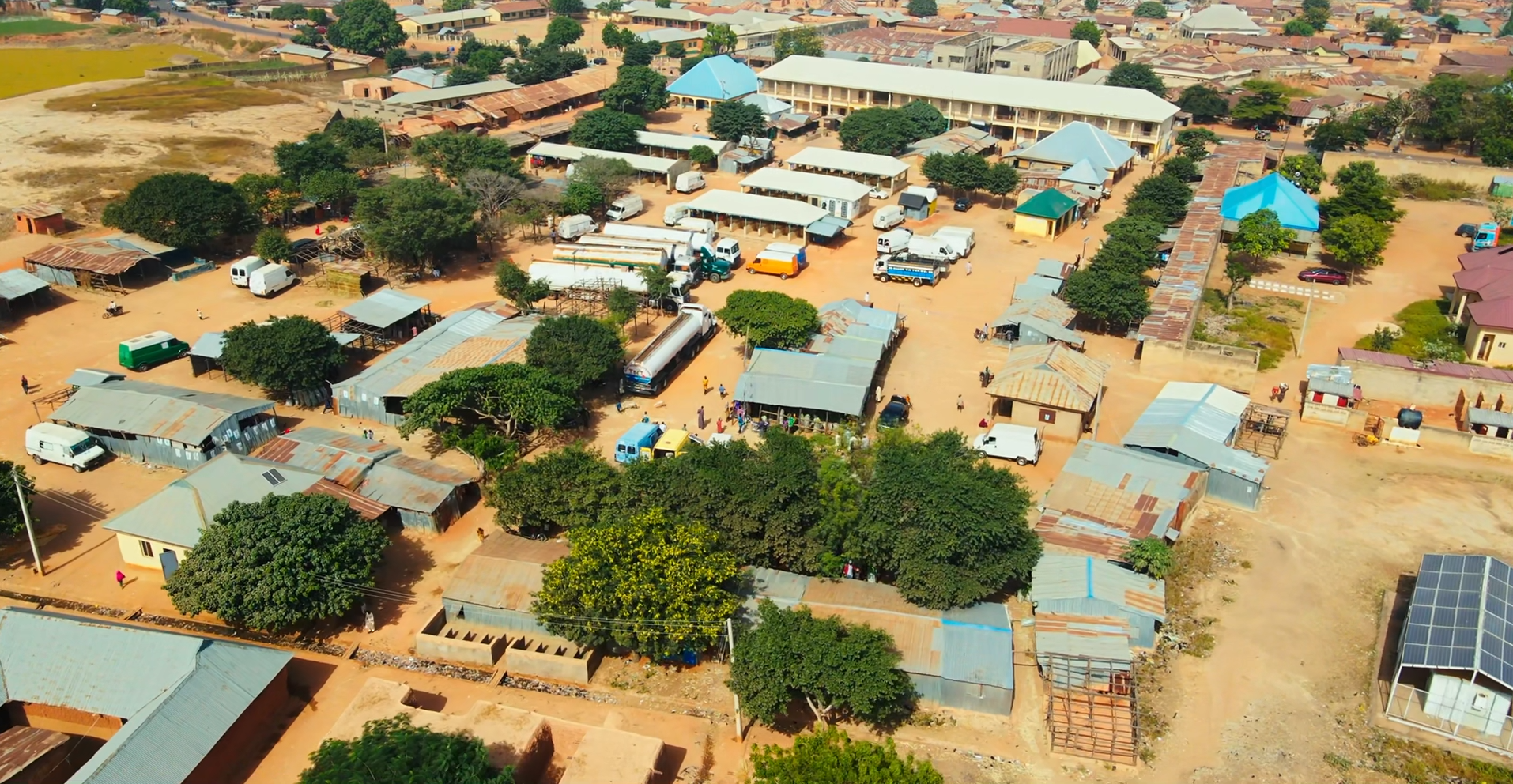
- Location: Kaduna State, Northern Nigeria
- Headquarters: Anchau
- Coordinates: 10°52′44″N 8°22′59″E
- Area: 2,505 km²
- Neighboring LGAs: Ikara, Makarfi, Soba, Kudan, Lere
Demographics
- Population: 282,045 (2006 Census)
- Major Ethnic Groups: Hausa and Fulani
- Languages Spoken: Hausa (predominant), English, Fulfulde
- Religion: Predominantly Islam, with Christian communities
Economy & Climate
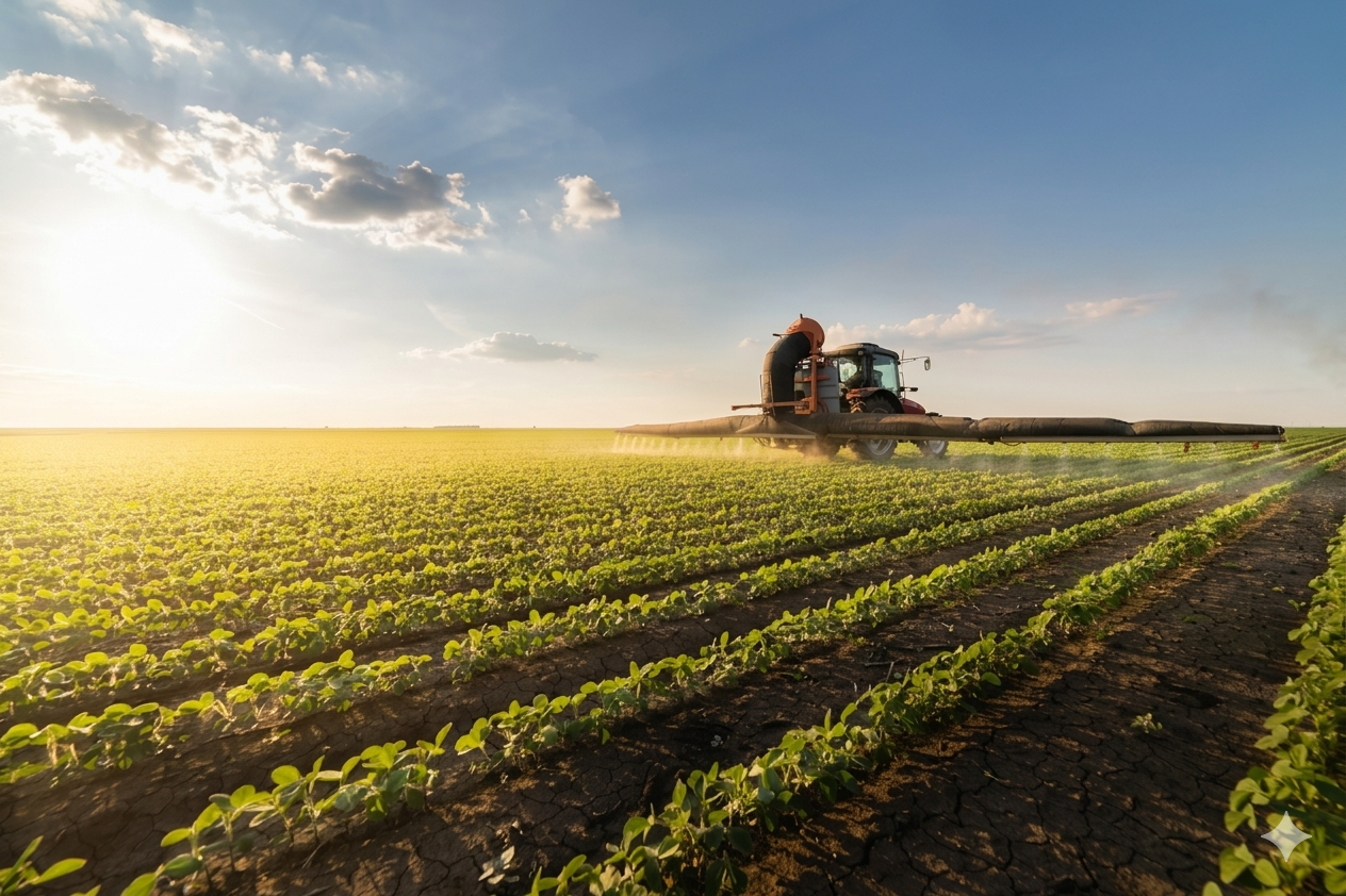
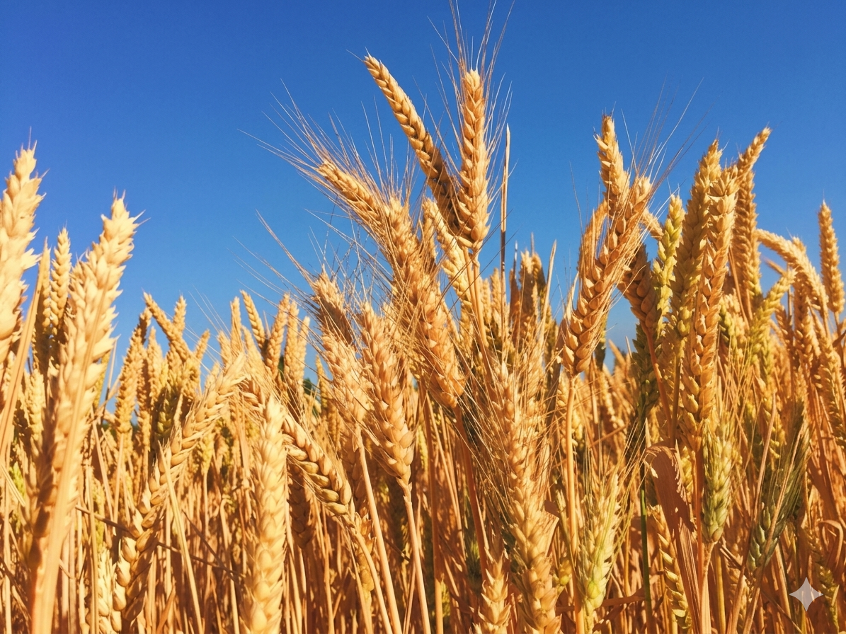
- Main Economic Activities: Farming, livestock rearing, small-scale trading, and local industries.
- Climate: Tropical savannah climate suitable for crop farming.
Geography & Economy
Location
Kubau LGA features a savannah landscape with fertile soils suitable for farming. The area experiences a tropical climate with a rainy season that supports agricultural activities.
Climate
The area experiences a tropical savanna climate with distinct wet and dry seasons. The rainy season runs from April to September, while the dry season extends from October to March. Average annual temperature is 33°C, with annual precipitation reported at 1100 mm.
Main Economic Activities
- Crop Farming: Maize, millet, groundnuts, and beans.
- Livestock Rearing: Cattle, goats, and poultry.
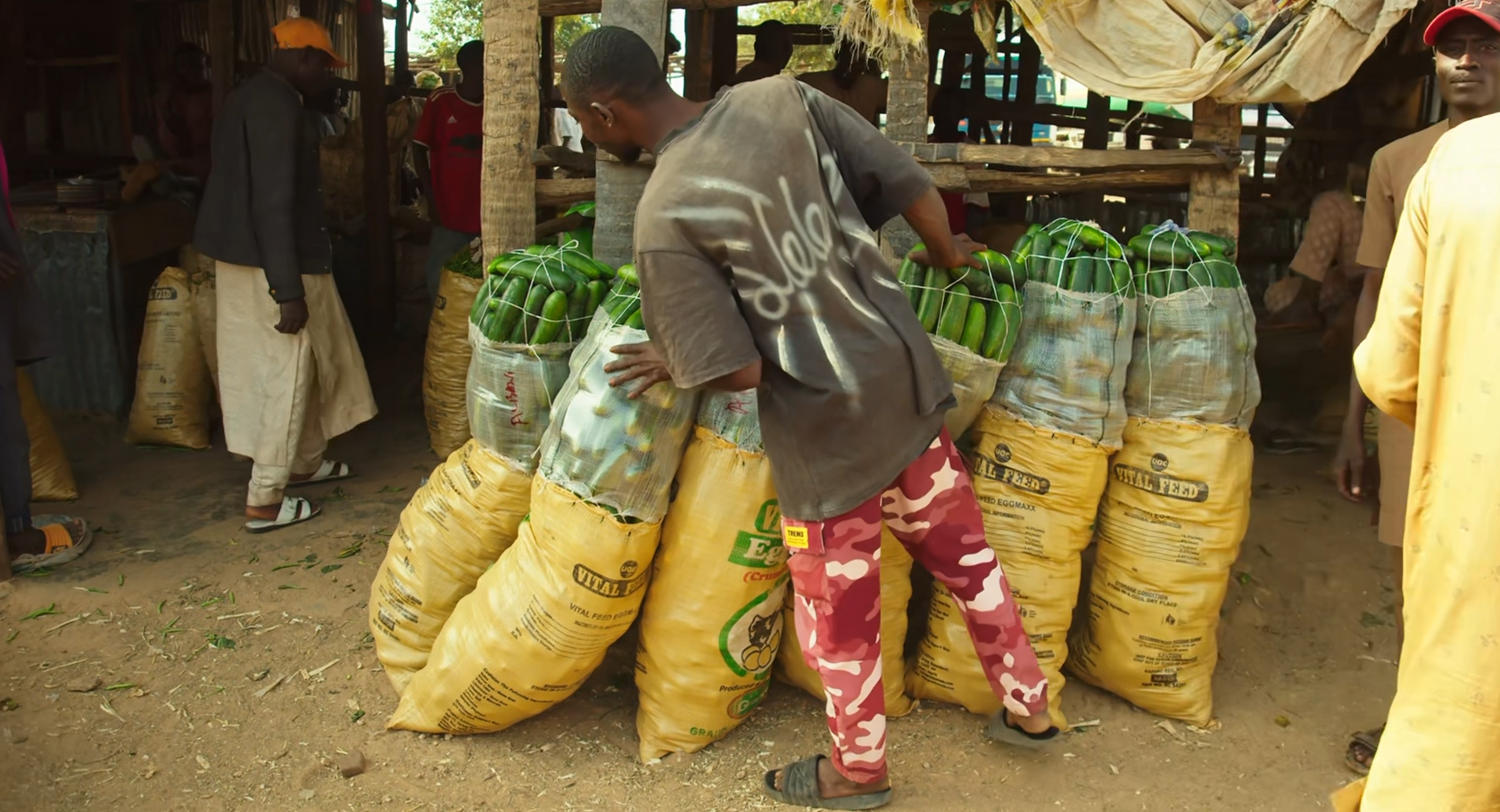
- Local Markets: The famous Anchau weekly (Tuesday) Market for selling cattle and agricultural produce.
- Dairy Farming: The state-of-the-art Arla Farm in Damau, established with a €10 million investment, targets an annual milk output of 4–5 million kg.